
Photo Gallery 3
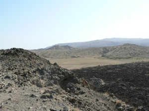 Small
silicic cones at northern end of the Dabbahu segment. Dabbahu itself is
the hill in the distance. Photograph by Tim Wright, January 2006.
Small
silicic cones at northern end of the Dabbahu segment. Dabbahu itself is
the hill in the distance. Photograph by Tim Wright, January 2006.
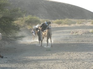
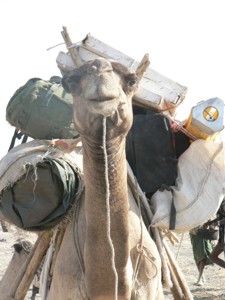 Camel,
laden with GPS equipment, returning from Gabho to Barantu. Photograph
by Tim Wright, January 2006.
Camel,
laden with GPS equipment, returning from Gabho to Barantu. Photograph
by Tim Wright, January 2006.
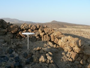 Continuously
recording GPS receiver installed on flanks of Gabho. Photograph by Tim
Wright, January 2006.
Continuously
recording GPS receiver installed on flanks of Gabho. Photograph by Tim
Wright, January 2006.
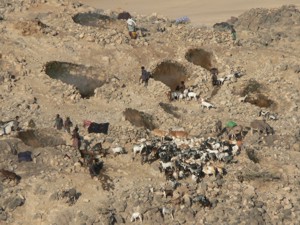 Local
people collecting water from 'Boinas', west of Gabho. These devices condense
geothermal steam and provide sufficient water for drinking, washing, cleaning
and watering animals. 'Boina' means 'white smoke' but actually refers
to steam. Photograph by Tim Wright, January 2006.
Local
people collecting water from 'Boinas', west of Gabho. These devices condense
geothermal steam and provide sufficient water for drinking, washing, cleaning
and watering animals. 'Boina' means 'white smoke' but actually refers
to steam. Photograph by Tim Wright, January 2006.
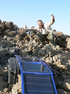 James
Hammond, after installing GPS receiver on flanks of Gabho. Photograph
by Tim Wright, January 2006.
James
Hammond, after installing GPS receiver on flanks of Gabho. Photograph
by Tim Wright, January 2006.
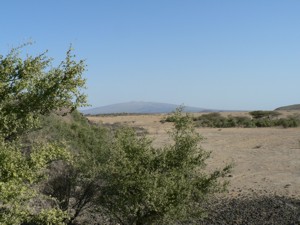 View
to the Alayta shield volcano and rift segment, north of Dabbahu. Photograph
by Tim Wright, January 2006.
View
to the Alayta shield volcano and rift segment, north of Dabbahu. Photograph
by Tim Wright, January 2006.
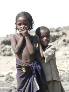
Children at Barantu. Photograph by Tim Wright, January 2006.
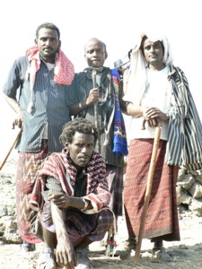
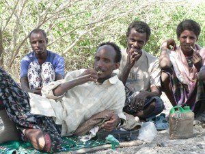 Chief
Mohammed and Afar guides. Photograph by Tim Wright, January 2006.
Chief
Mohammed and Afar guides. Photograph by Tim Wright, January 2006.
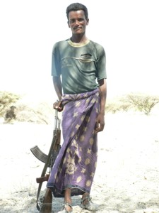 Afar
guide, Said. Photograph by Tim Wright, January 2006.
Afar
guide, Said. Photograph by Tim Wright, January 2006.
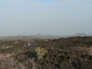 Volcanic
cones near Barantu, NW of Dabbahu volcano. Photograph by Tim Wright, January
2006.
Volcanic
cones near Barantu, NW of Dabbahu volcano. Photograph by Tim Wright, January
2006.
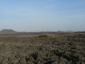 Volcanic
cones near Barantu, NW of Dabbahu volcano. Photograph by Tim Wright, January
2006.
Volcanic
cones near Barantu, NW of Dabbahu volcano. Photograph by Tim Wright, January
2006.
 Camels
carrying equipment around flanks of Dabbahu. Photograph by Tim Wright,
January 2006.
Camels
carrying equipment around flanks of Dabbahu. Photograph by Tim Wright,
January 2006.
Afar guides. Photograph by Tim Wright, January 2006.