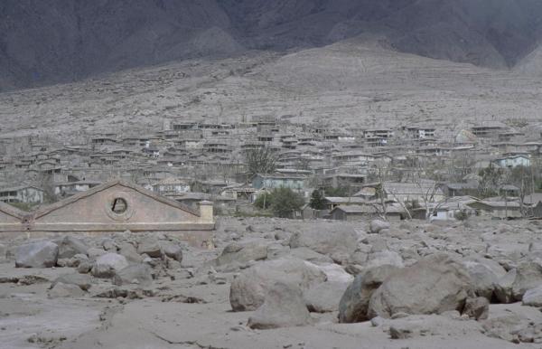
Buried town of Plymouth. Photo courtesy Marco Fulle, Stromboli
On-Line, http://stromboli.net
SEISMIC PHENOMENA ASSOCIATED WITH VOLCANIC ACTIVITY
The 2 field trips allowed us to see the unique landscape of an island recently covered by mudflos and pyroclastic flows.
Buried town of Plymouth. Photo courtesy Marco Fulle, Stromboli
On-Line, http://stromboli.net
A tour to the buried capital city of Plymouth allowed us to see the burying effects of mudflows coming down from the volcanic edifice. It was also a realisation of the risk from the volcano, as we were able look right up the 'gun barrel' at the active dome. We could look right up the gulley that had fed Fort Ghaut and could see how it funnelled the pyroclastic flows down into Plymouth.
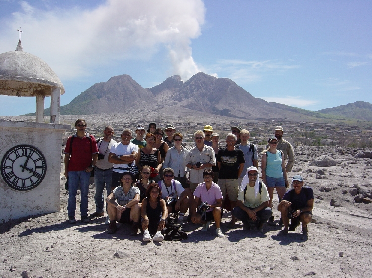
The classic group photo, taken in Plymouth close to the famous clock
tower. Photo courtesy
Jürgen Neuberg.
The view of the dome in the background gives a clear idea of the volcanic risks and how close Plymouth is to the active dome.
A trip around to the eastern side of the island allowed us to view the present activity of the Volcano. The constant dome growth meant that there were continuous rockfall and small pyroclastic flows rolling down the flanks such as the one below below.
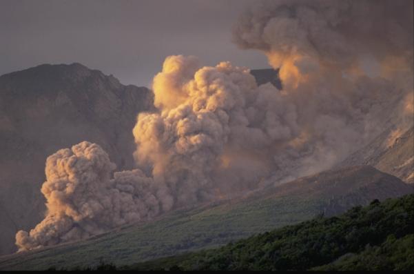
Pyroclastic flow coming down Tar River (to the east), taken in March 2002.
Photo courtesy Marco Fulle, Stromboli On-Line, http://stromboli.net.
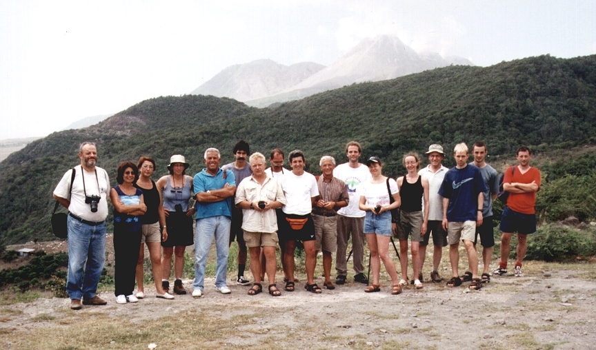
Another group photo, taken close to Jack Boy Hill, above the airport. The view includes the flanks where the rockfalls and pyroclastic flows are seen.
Photo courtesy Nuccio Lombardo.