The pictures below show field operations carried out in eastern South Australia during the 2000 field season. AF2000 is a collaborative project between the seismology groups of Monash University (A. Prof. G. Houseman, Dr. F. Graeber, and Mr N. Rawlinson) and Adelaide University (Prof. S. Greenhalgh, Mr P. Clifford and Dr. A. Davydov) in cooperation with PIRSA (Dr David Love and Mr David Catley ). AF2000 is part of a 3-year ARC funded program which aimed to investigate the structure of the lithosphere beneath western Victoria and eastern South Australia. The project used the SSR seismic data loggers built at the Australian National University and operated by the Joint University Seismic Facility (JUSF).
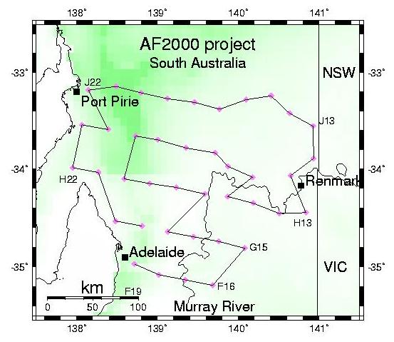
This map shows the extent of the 40 station array operating under the AF2000 project in eastern South Australia. Each data collection trip required about 2300 km of driving and about 4 days. Six data collection trips were required after installation in order to keep the array operating for about 4 months. Stations were deployed on a nominal 50 km by 30 km grid, though lack of roads in the north-east section caused large departures from the nominal grid.
The photographs below were taken during a routine data collection (DC4, May 2000) after the stations had been recording for 12 weeks.
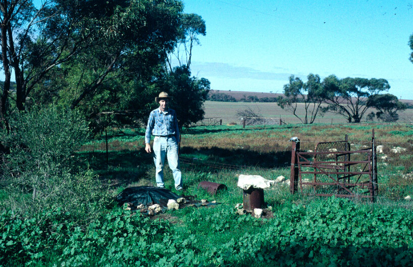
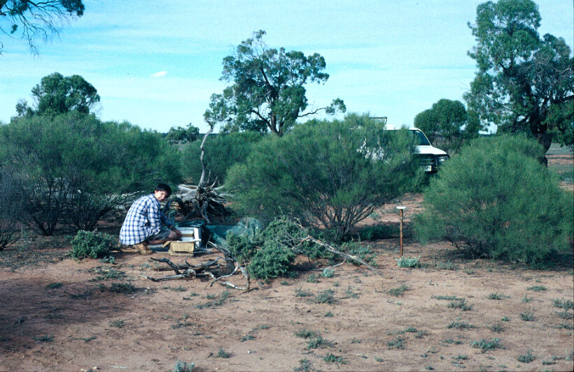
Greg Houseman at station H22NIN near the locality of Ninnes, about 20 km NW of the head of St Vincent's Gulf. The recorder is covered by a tarpaulin for protection from the elements. The sensor (1 Hz vertical component) in this case is under the drum, partially buried. Usually it is completely buried unless burial is rendered difficult as here because of limestone near the surface. The GPS antenna is located nearby on a fence post. The farmer's house is about 20 m further down the hill.
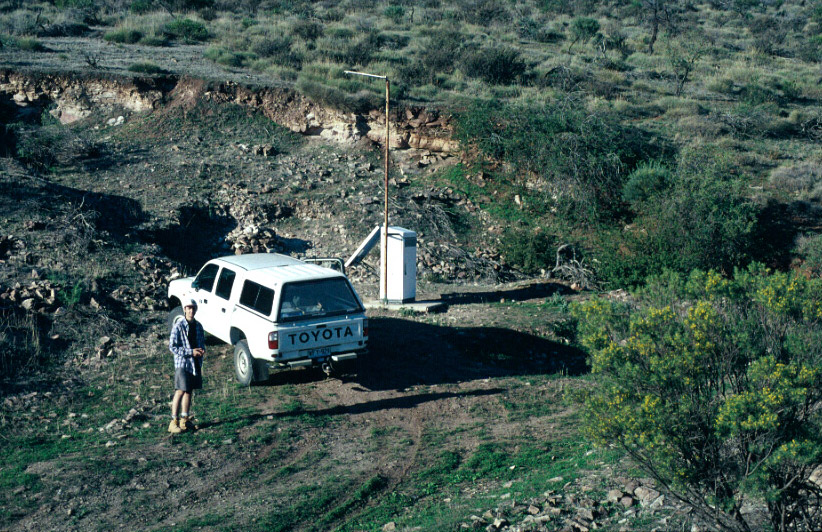
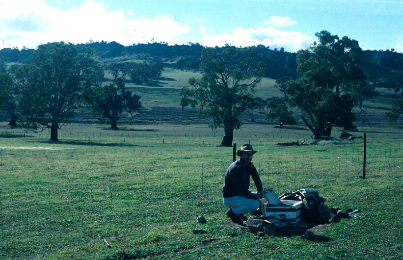
Peter Clifford at site J22NAP, adjacent to the Napperby station operated by PIRSA. Napperby is part of the South Australian regional permanent seismic network, in the hills east of Port Pirie.
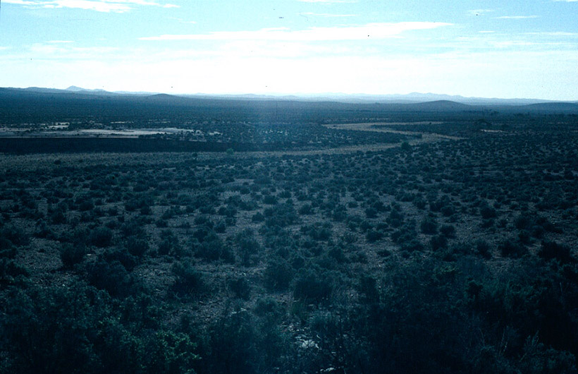
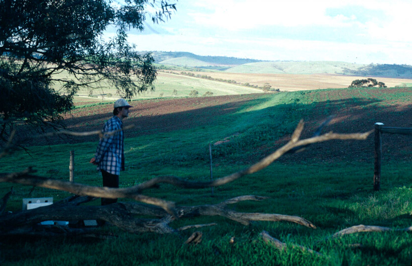
Looking east along the northern line of stations, this view from the road near Ketchowla. From here to the New South Wales border, about 150 km as the crow flies, the only settlements are isolated farm communities, the roads are few and liable to be unpassable after rain, and the mobile telephones don't work.
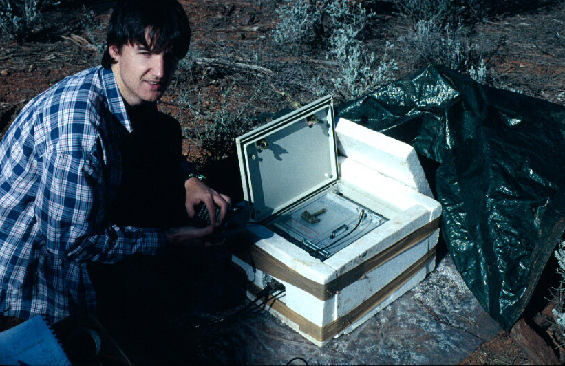
Peter Clifford at station J17DIN, on the Sturt Vale property. This one property was large enough in area that it hosted two of our stations, 30 km apart. The recorder is enclosed in 25 mm polyurethane boards to insulate against temperature changes caused by the diurnal cycle. The recorder is controlled by a HP palmtop computer, and data is written to two 40 Mb flash cards, which can record for 24 days at 20 samples per second.
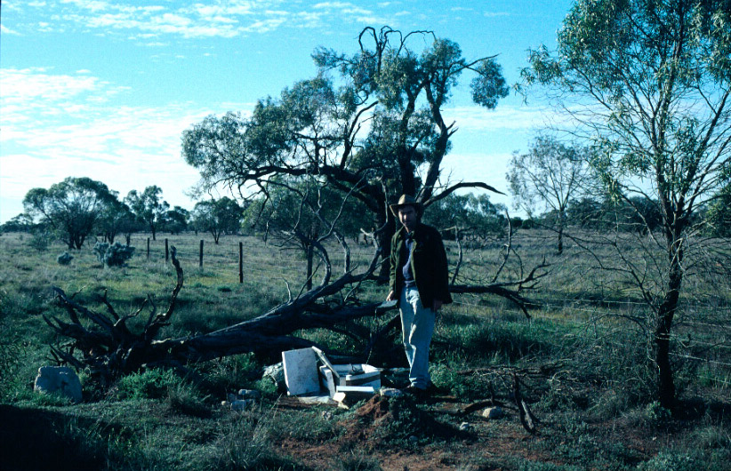
Peter Clifford at station J13HYP, near Hypurna in the Danggali Conservation Park, near the border with New South Wales. This was probably our most remote station, 125 km north of Renmark, with the last 40 km on bush track.
Greg Houseman at station H16WAI, south of Waikerie on the Murray River. The mound in the foreground covers the sensor (1 Hz vertical component) which is buried inside 110 mm PVC tube.
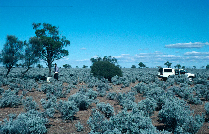
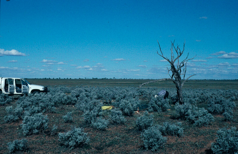
Peter Clifford at station I17BUN on Bungunnia station, about 22 km north of Morgan on the Northwest bend of the Murray River. Saltbush as far as the eye could see, these few trees were the landmark for finding the station. Not much fauna here, a few sheep hiding among the saltbush, but on one visit we chanced on one of the most impressive spiders I have ever seen - large black, furry, with silver markings on its back and a desire to set up home in our toolkit.
At station I18FLO, north of Florieton on the Burra - Morgan road. This station seemed to be at the centre of a locust swarm at the time this photo was taken. There wasn't much to eat there, so the locusts ate large holes in the otherwise heavy duty tarpaulins and even developed a taste for the polyurethane insulation. This station was inaccessible for one of the data collections due to the effect of rain on dirt tracks.
This station H20HAL, near Halbury at the souther end of the Clare Valley had one of the nicest views, perched on the top of a hill underneath a large eucalypt.
Station H18SUT on a farm near Sutherlands, just east of Eudunda.
Station G18EDE, near Eden Valley in the Mount Lofty Ranges.
The above photographs and notes by: Greg Houseman